Title: ‘All Mapped Out: Maps, Plans and Charts in the Archives’
Date: Tuesday 24th November 2026
Location: The Gallery, 77 Cowcross Street, London, EC1M 6EJ
Call for papers: abstracts submission deadline 5pm on Wednesday 1st July 2026
This year the British Records Association (BRA) annual conference will be held on the topic of records and archives which take the form of maps or geographical plans and charts.
Submissions are invited which link this theme to the aims of the BRA, namely the preservation, understanding, accessibility and study of our recorded heritage for public benefit. Areas to be explored could include:
- challenges of preserving maps owing to their scale or format
- survival or absence of significant maps, or collections thereof
- little known material, whether significant for design or purpose, for example
- misleading maps
- different reasons why maps have been produced
- interesting discoveries or interpretations based on the study of maps
- maps as a tool for public engagement
- broadening access through digitisation, grant funded projects, or other means
- relevant collaborations, such as between historians and collections managers
- changes in how maps have been created, and insights these provide, such as the rise of digital cartography
- whether existing map collections are under threat from technological advances
Abstracts of papers (twenty minutes) or lightning talks as part of a panel (five minutes) should be a maximum of 200 words and should be accompanied by a biography of all participants of up to 150 words. These should be submitted to the BRA Chair.
The British Records Association is a charity which aims to promote the preservation, understanding, accessibility and study of our recorded heritage for public benefit. It is open to anyone interested in records and archives whether local historians, academics, professional archivists, or custodians and owners of collections, or simply those who are curious about the record of our past.
Matti Watton, BRA Chair, on behalf of the conference organising committee.
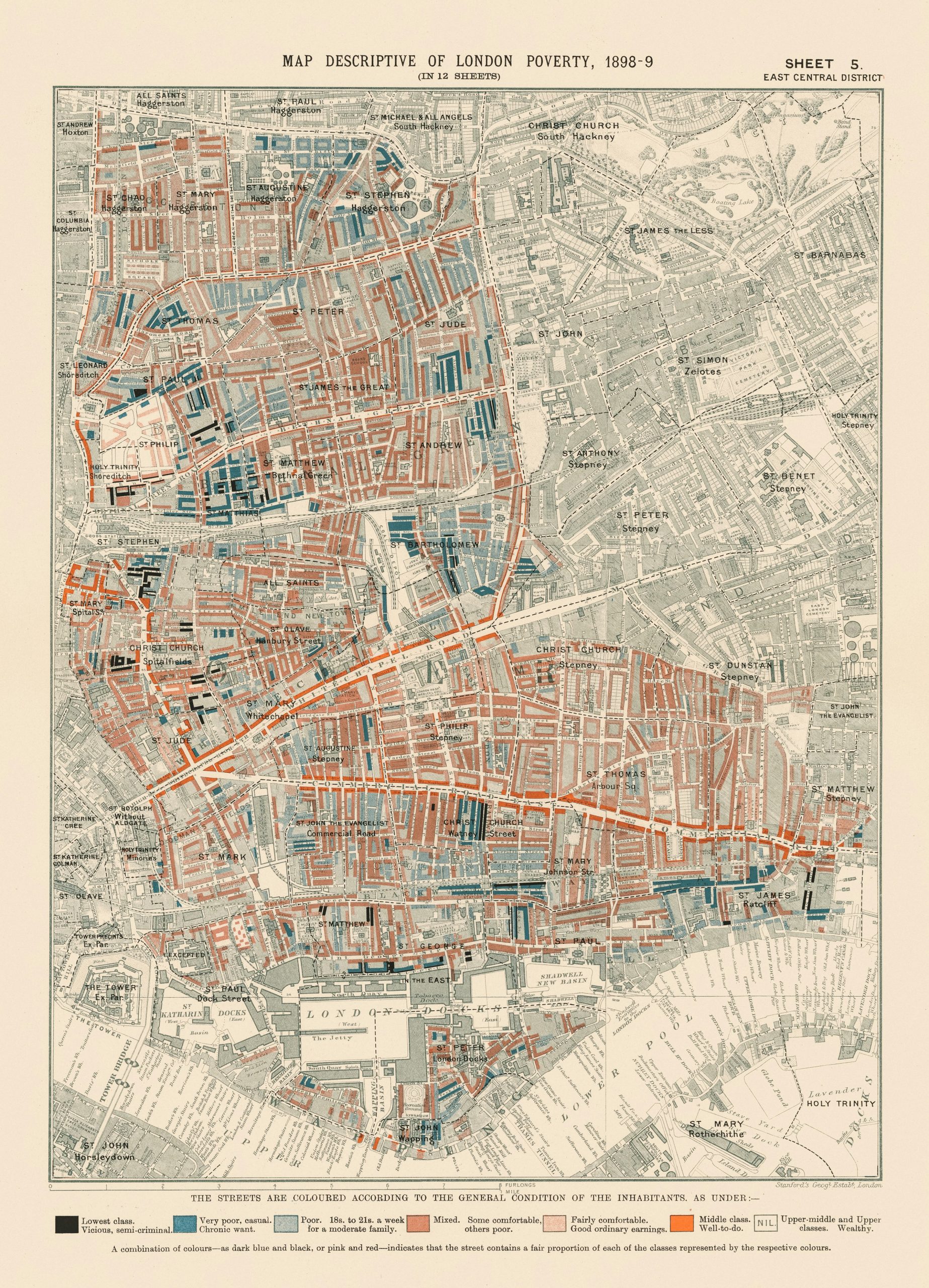
Image of London Poverty Map, 1898-9. Sheet 5: east central district thanks to LSE Library on Unsplash